
Walking a Lockport Street
A Lockport street search starts with the physical address, not a name. The address can identify an assessment parcel, a situs location, and an SBL, then connect to map layers and recorded documents. Those records are more reliable when each one is read for its stated purpose. An assessed owner is not automatically the current occupant, and a mailing address can point somewhere else. The street-by-street method therefore builds a dated record trail instead of treating one search result as a household list.
- Enter the number and street in PROS-GAR and select the City of Lockport or Town of Lockport municipality.
- Save the situs, SBL, property class, deed book/page, and assessment year from the result.
- Open the parcel in the Niagara County ArcGIS viewer to inspect parcel geometry and nearby parcels.
- Use the SBL, book/page, or party names in the County Clerk’s recorded-document route.
- For an earlier household, use a dated library directory or newspaper source and preserve its year and page.
Use the same sequence for each address on a road. That produces comparable parcel records without implying that every person connected to the street is publicly listed.
Lockport PROS-GAR Street Search
Niagara County PROS-GAR is the main address-keyed property tool for the Lockport street directory. The free quick search has a Street Address field, Street Finder, owner field, tax-map/SBL field, and municipality selector. The form instructs users to enter a number and street and omit the suffix. Street Finder offers the public roads and can be used to browse addresses on a selected road.
| Search control | How to enter it | Street-directory use |
|---|---|---|
| Street Address | Number and street, omit suffix | Find a parcel by its situs |
| Street Finder | Select a public road | Browse addresses along the road |
| Tax Map#/SBL | Use the tax-map number | Confirm the parcel identity |
| Owner Name | Last name, first name | Find assessment-owner leads |
| Municipality | Choose the precise municipality | Separate City and Town results |
The advanced form adds sale, class, value, physical-characteristic, neighborhood, and street filters. It has no ZIP field. Use it to refine parcels, not to convert a postal area into a street-level list.
The Niagara PROS-GAR quick search is the source for the address and Street Finder controls shown here.
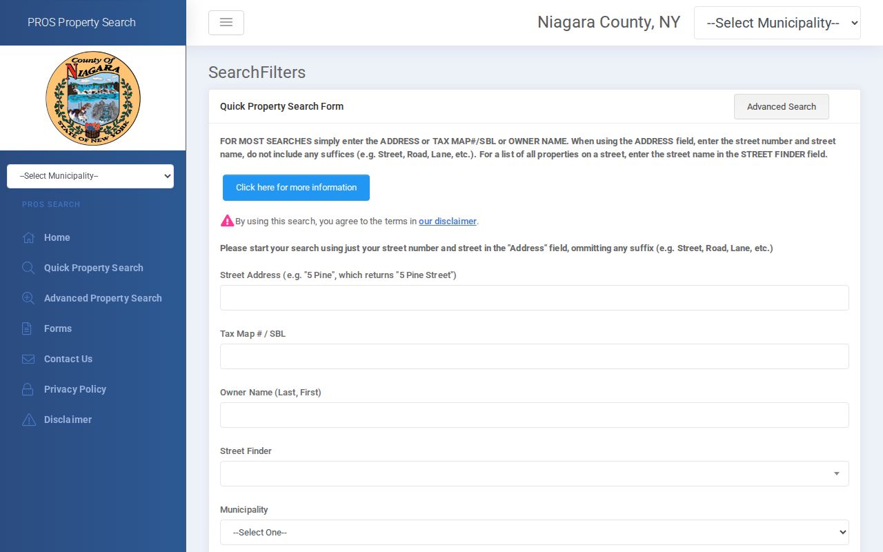
The form’s number-and-street route is the clearest official starting point when a Lockport street address is already known.
Lockport Street SBLs
The SBL is the parcel’s tax-map identifier. It is more stable than a person’s name and lets a Lockport street search move between the assessment roll, map, and deed trail. A typical City of Lockport final-roll row can show the SBL, property location, property class, current owner and owner mailing address, school district, assessments, exemptions, parcel size, and deed book/page.
Read situs and mailing fields separately. The situs address identifies the parcel itself. An owner mailing address identifies where tax correspondence is sent and can differ from the street address. The county’s 2025 roll includes an example of a vacant parcel with a mailing address different from its situs. That difference is a normal record feature, not evidence about where an owner lives.
- Parcel
- A defined piece of land in the assessment system.
- SBL
- The section, block, and lot tax-map identifier used for a parcel.
- Situs address
- The physical location assigned to the parcel.
- Legal description
- The recorded land description used to identify the property interest.
Lockport Street Jurisdictions
A Lockport postal address does not settle the municipal question. The City of Lockport and Town of Lockport are separate entities and their clerks are separate channels. The City Clerk’s genealogy instructions specifically warn about that divide. County systems cover the broader county, so a municipality filter and the street’s actual situs should guide the search.
The Town GIS guidance says its mapping resource covers the Town and City of Lockport and central Niagara County. That makes it a helpful cross-check, but it does not erase separate municipal custody. City forms, local permits, and City Clerk records should stay with the City route; Town Clerk and Town building or assessing matters should stay with the Town route.
The Town of Lockport GIS guidance describes the Town’s official map-access channel.
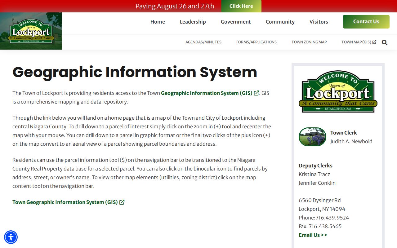
The Town route is a jurisdiction check for nearby addresses, not a substitute for the City of Lockport’s records office.
Lockport Street Record Sets
A Lockport street directory combines address-keyed sources, not a single compiled list. The assessment roll identifies the parcel and assessment owner. The GIS viewer supplies geometry and layers. County Clerk indexes carry recorded-document parties and book/page references. City planning materials can reveal public board notices or permit routing. Each record should be cited for the point it actually supports.
| Address record | What it identifies | Custodian | Access |
|---|---|---|---|
| Assessment roll / PROS-GAR | SBL, situs, owner mailing, class, values, deed reference | County Real Property | Free portal and roll |
| Parcel viewer | Parcel geometry, map layers, adjacent parcel context | Niagara County GIS | Official ArcGIS viewer |
| Recorded instruments | Grantor/grantee, document type, recording data, book/page | County Clerk | IQS, terminal, or request |
| Planning and permit route | Public notices, application directions, meeting records | City of Lockport | Planning/Zoning and FOIL |
| Historic directory | Address association in a publication year | Lockport Public Library | Print and microfilm |
Parcel identity is the connective thread. A street name can change or recur, while an SBL and a dated deed reference give the search a way to check whether records concern the same land.
Lockport Street Parcel View
After confirming the SBL in PROS-GAR, open the address in the Niagara County ArcGIS parcel viewer. The map can show parcel boundaries and layers, which helps distinguish a corner parcel from a neighboring one or confirm whether a street-facing address belongs to the same tax lot. GIS geometry is useful context, especially where a road bends, a parcel has several frontages, or an old directory number is unclear.
Map selection does not confirm a household. The reviewed county guidance did not establish a complete person-name adjacency index, and map-layer currency or retention details were not stated. Treat nearby parcels as separate records to query by their own SBL or address. That approach preserves the distinction between spatial proximity and an assertion about people.
For a street walk, first select the subject parcel and note its boundaries. Then open each adjacent parcel as its own result instead of carrying a name across lot lines. Compare the parcel’s situs with the street number in the assessment roll before using its deed reference. This procedure is especially useful when one building has a broad parcel, when a driveway crosses a lot line, or when an old address is being reconciled with a modern map.
Note: A parcel map is strongest when read with its assessment year and the record date of any linked instrument.
Lockport Street Deed Trail
A deed trail begins once the assessment record yields a book/page, SBL, or party name. SearchIQS Niagara is the online gateway for many County Clerk indexes, but the public login does not provide unrestricted results. The official coverage table states that deeds are indexed and imaged circa 1941, with instrument-specific start dates for other record types. Older or gated material can require courthouse public computers or a document request.
A recorded result should be read for grantor, grantee, document type, recording date, instrument number where shown, book/page, legal description or parcel reference, and image-access status. The County Clerk’s request form accepts parties, recording date, book/page, or instrument number and provides email, fax, mail, phone, and in-person channels. The clerk states a handling target of up to three business days.
The Niagara County deed-recording page identifies the County Clerk’s official deed requirements and access route.
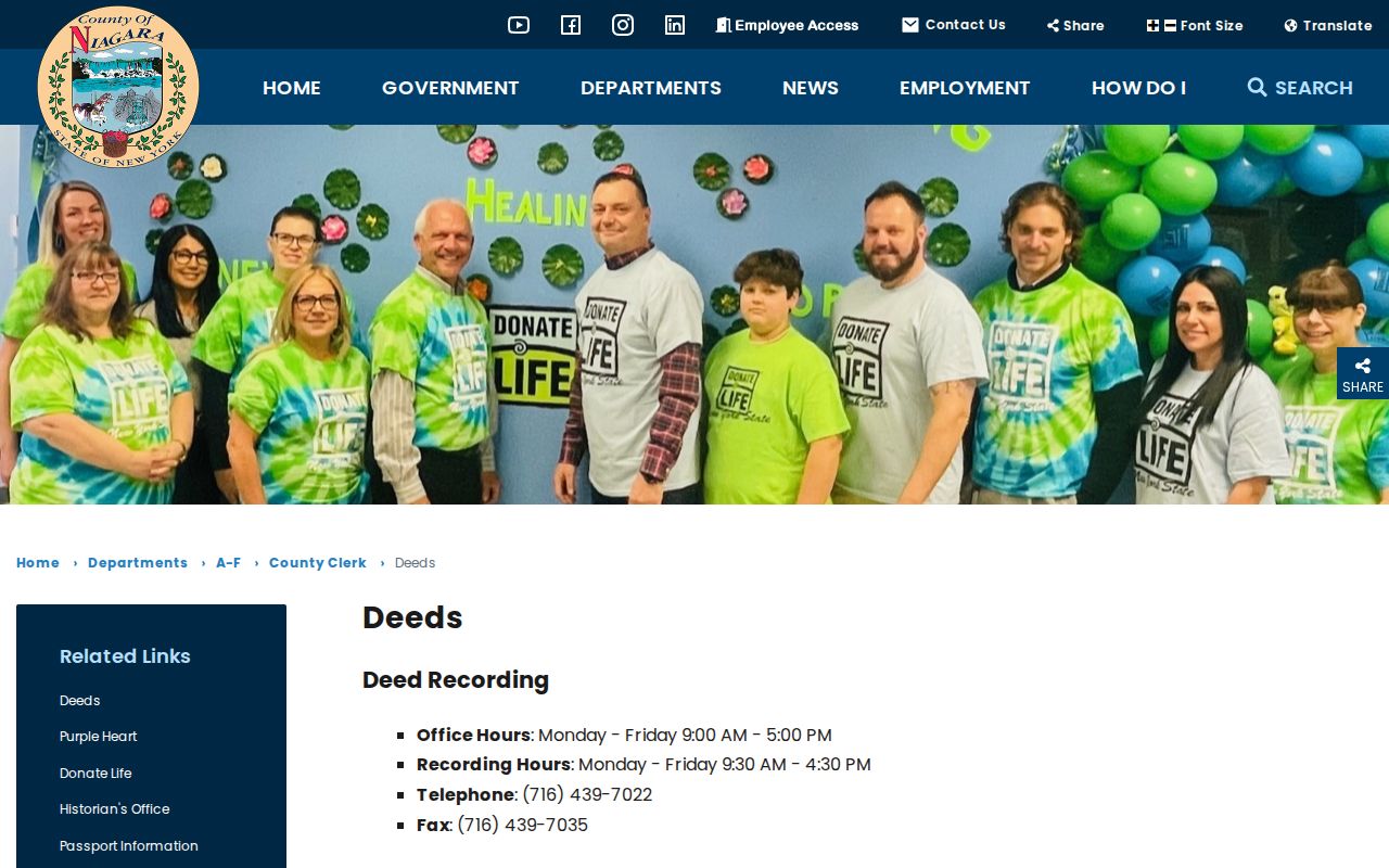
The County Clerk page is useful when a street search reaches a specific recorded transfer that needs an official copy or a staff-assisted lookup.
Lockport Street Name Continuity
Street research can cross different eras of municipal language. Lockport became Niagara County’s first official city in 1865, after the canal and county-seat developments that shaped earlier town and village references. Keep the exact jurisdiction and publication year when matching a historic address to a modern parcel. A familiar street label does not prove uninterrupted numbering or identical boundaries.
The City code’s street schedule and amendment record can help verify formal street naming. For building footprint context, the 1903 Library of Congress Sanborn set has 28 Lockport sheets. The library’s city directories, Polster photographs, and local newspapers can also explain an older streetscape. No official source located a citywide renumbering project, so do not assume one to make an address fit.
When an older entry seems close but not exact, check the directory year, its street spelling, the municipality label, and the building footprint before changing the address in a research note. The library’s newspaper microfilm also has known publication gaps and edition changes. A missing notice or address reference may reflect the available edition rather than a break in the street’s history. Preserve the mismatch and the source consulted instead of forcing a modern address match.
Lockport Street Planning Records
City of Lockport Planning and Zoning routes building permits, applications, Planning Board notices, and public meeting material. These are useful for a property-history question because they can place a project or board action at a site. The reviewed city material did not expose a public permit-search field schema, so a web page may provide instructions rather than a searchable address index.
When an existing city record is not posted, make a narrow FOIL request that names the department, address or parcel, record type, and date range. New York FOIL generally requires a response, denial, or acknowledgement within five business days, but it does not require the City to create a new report. Ask for the existing item rather than a generalized dossier about a street.
Lockport Street Voter Limits
New York’s individual voter lookup accepts county, last name, first name, date of birth, and ZIP. It is not a county street-browse tool. Niagara County’s voter-information page supplies maps and polling information, but the research did not locate a county-run public street-wide voter-name search. A street directory should not fill that gap by treating property or map data as voter information.
Election Law §5-602 provides public-list material in specified formats, while Election Law §5-508 protects confidential voters. A state voter-data request must state an elections purpose under Election Law §3-103(5). Address Confidentiality Program participants may have a substitute address. An absent result can be a lawful privacy outcome, not a reason to infer a person’s location.
Lockport Street Directory Limits
A Lockport street directory can show address-linked public records, but it cannot establish every person associated with a property. An assessment owner may be different from an occupant, a mailing address may differ from situs, a voter result is time-sensitive, and a recorded transfer is about an instrument rather than day-to-day presence. Protected voter and address-confidentiality records may be intentionally absent.
Keep a simple record log: street address, municipality, SBL, source, date searched, record date, and the fact the source actually reports. Verify an important result with the custodian, especially where a name is common or an older street reference is involved. Historic city directories are a useful next step for dated address associations, not a substitute for current parcel evidence.