
Lockport Neighbors by Parcel
Official sources can describe the block around a Lockport address, but no single record identifies every nearby person. The parcel map establishes which lots touch or sit beside the subject parcel. Niagara County’s assessment roll then ties a current assessment account to each parcel. A historical directory can associate a name with an address for a particular publication year. The state voter tool is individual, not a public street-wide roster. Treat the records as separate, dated pieces of evidence, especially when the same postal label can serve both the City and Town of Lockport.
| Block source | What it can show nearby | Access route |
|---|---|---|
| Niagara ArcGIS parcel viewer | Parcel geometry, SBL identifiers, adjacent lots, layers | Free map viewer |
| Niagara PROS-GAR | Assessment owner, mailing address, situs, class, deed book/page | Free public search |
| Lockport city directories | Historical address and household association by volume year | Library print and microfilm |
| NYS voter lookup | Individual registration and polling information | Name, county, DOB, and ZIP form |
| City civic pages | Public boards, wards, meeting records, and civic roles | City web pages and meetings |
An assessment owner is not automatically an occupant. A mailing address can be elsewhere, and a lack of a search result can reflect a scope limit or protected information. That distinction keeps Lockport neighbors research tied to what each custodian actually publishes.
Map a Lockport Neighbor Block
Use the county’s map as the spatial starting point. The Town of Lockport’s GIS guidance explains that the underlying viewer covers Town and City of Lockport as well as central Niagara County. Its binocular search can use an address, street, or owner; the map tools include Search, Results, Measure, Layer, and Select. The map identifies parcel relationships. PROS-GAR supplies the assessment record for each selected SBL.
- Search the starting address and confirm whether it falls in the City or Town of Lockport.
- Select the subject parcel, note its SBL, then select the parcels that share a side, corner, or frontage.
- Open each SBL in PROS-GAR and record the situs, account name, mailing address, property class, and deed book/page separately.
- Use the recorded book/page or party names with the County Clerk if the question is about a transfer rather than the current assessment record.
For a full road rather than the immediate block, use the Lockport by-street directory, which follows the controlled Street Finder results instead of treating a few adjoining parcels as the whole street.
Lockport Parcel Fields for Neighbors
The Niagara County Real Property office directs visitors to PROS-GAR, GIS, assessment rolls, and assessor information. The 2025 City of Lockport assessment roll illustrates why its fields need careful reading: an entry can show a parcel’s SBL, physical location, class, current owner name, owner mailing address, school district, assessments, exemptions, and deed book/page. The situs is the parcel’s physical location. The mailing address is where assessment correspondence goes. Neither field alone establishes who is present at the property.
The county Real Property page shown here is the official route to the property tools.
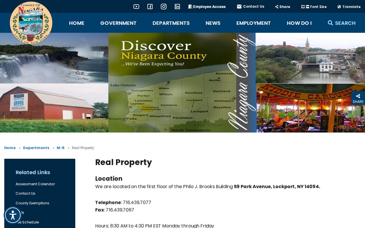
Use its links to move from a block map to the parcel record, then preserve the City or Town setting used for the search.
- Parcel or SBL
- The tax-map identifier that lets a map selection and assessment row refer to the same land.
- Situs address
- The physical parcel location used to place an address on a block.
- Mailing address
- The contact address on an assessment record, which may differ from the situs.
- Legal description
- The lot, subdivision, or boundary wording in a recorded instrument, not a postal label.
Lockport Neighbors Need Jurisdiction
Lockport is a city, county seat, and postal name used by nearby Town of Lockport properties. That makes a municipality filter more reliable than an assumed label. The City Clerk’s genealogy material expressly says the City and Town are separate entities. City records may turn on an event, license, or municipal matter, while county land and assessment systems cover broader Niagara County geography. Read the parcel’s municipality before drawing a conclusion from a city office, a town office, or a postal address.
Town of Lockport GIS guidance is a useful reminder of that shared map coverage. Its page leads to the regional geometry layer, not to a separate neighbor database. The map can settle parcel geography, but it cannot convert an assessment contact into a complete list of nearby people.
Lockport Voter Geography Limits
New York’s voter lookup is designed for an individual search. It asks for county, last name, first name, date of birth, and ZIP, then returns registration and polling-place style information. Niagara County also publishes maps and polling links through its Board of Elections. Research did not locate a county-run online tool that lists voters along a street. Where a lawful public-list request is needed, the County Board or State Board is the proper route, not a series of individual searches.
New York Board of Elections FOIL guidance describes the written route for voter-data requests and says a request must state an elections purpose under Election Law §3-103(5).
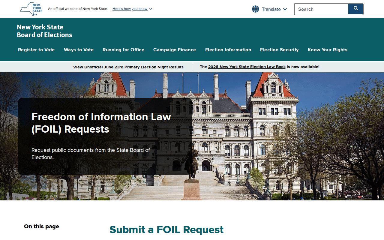
Election geography is its own system: a ZIP, ward, election district, municipality, and parcel are not interchangeable boundaries.
Note: New York confidential-voter and Address Confidentiality Program participants may be intentionally absent or use protected address arrangements.
Lockport Civic Roster Sources
A public neighborhood-association umbrella directory was not located in the official sources. Lockport’s public civic pages are the sound substitute for confirming a board, ward representative, meeting, or committee role. They identify government activity, not private membership or every person near an address. The Common Council has ward structure, meeting notices, minutes, and a public agenda route. The city’s committees and boards page lists civic bodies such as the Planning Board, Board of Assessment Review, Community Cable, Fire Board, and Human Relations.
| Common Council | Wards, public meetings, minutes, and agenda information |
|---|---|
| Planning and Zoning | Permit instructions, Planning Board notices, and public meeting material |
| Committees and boards | Official city roster context, not an address-based community directory |
The Lockport Common Council page supplies ward and meeting material.
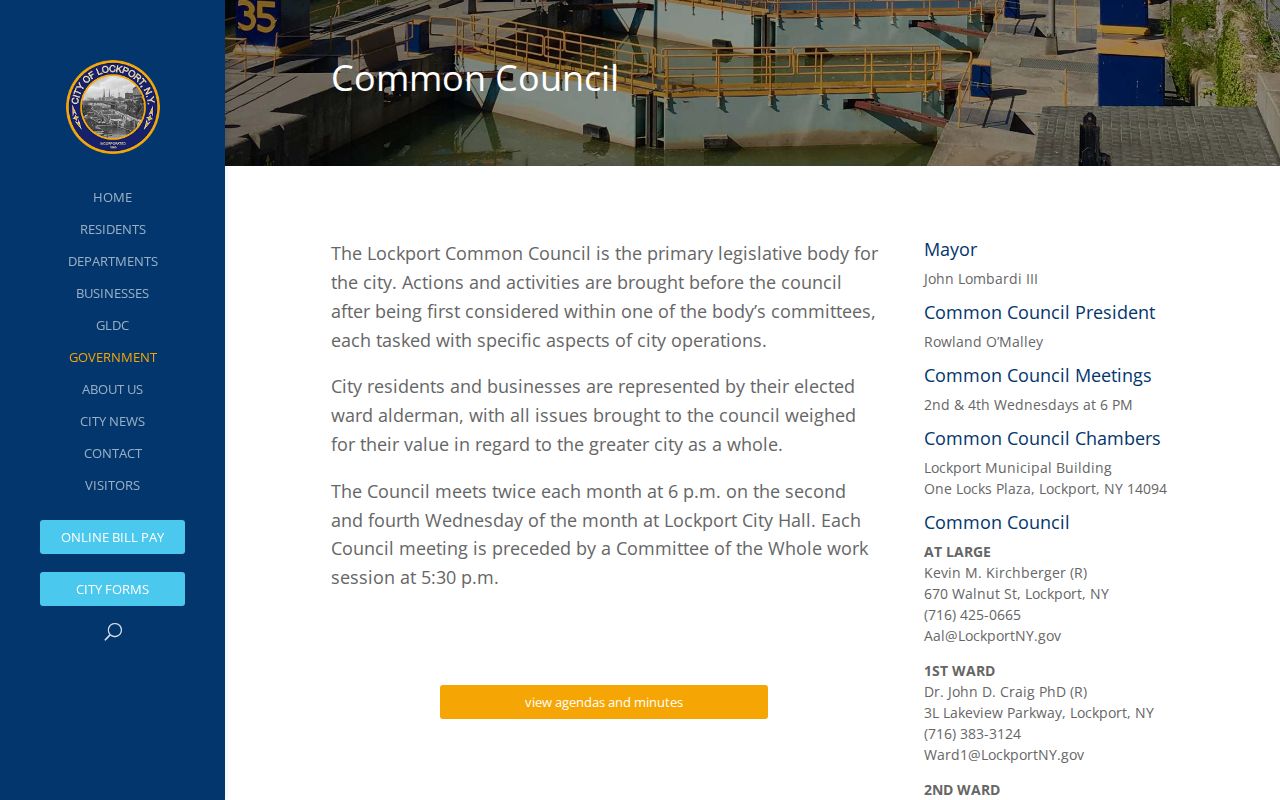
Ward records can provide civic context around a block without claiming that a ward roster is a list of Lockport neighbors.
Lockport Block Permit Context
City planning records can put a date and public proceeding beside a parcel. The Planning and Zoning page covers building inspections, permits, contractor licensing, board requests, and Planning Board notices. No official online permit-search field schema was located, so an address query should begin with the posted materials or a focused request for an existing record. Name the address, date range, department, and record type. The City FOIL form is the fallback when a responsive city-held record is not posted.
The Lockport Planning and Zoning page is the starting point for the city route.
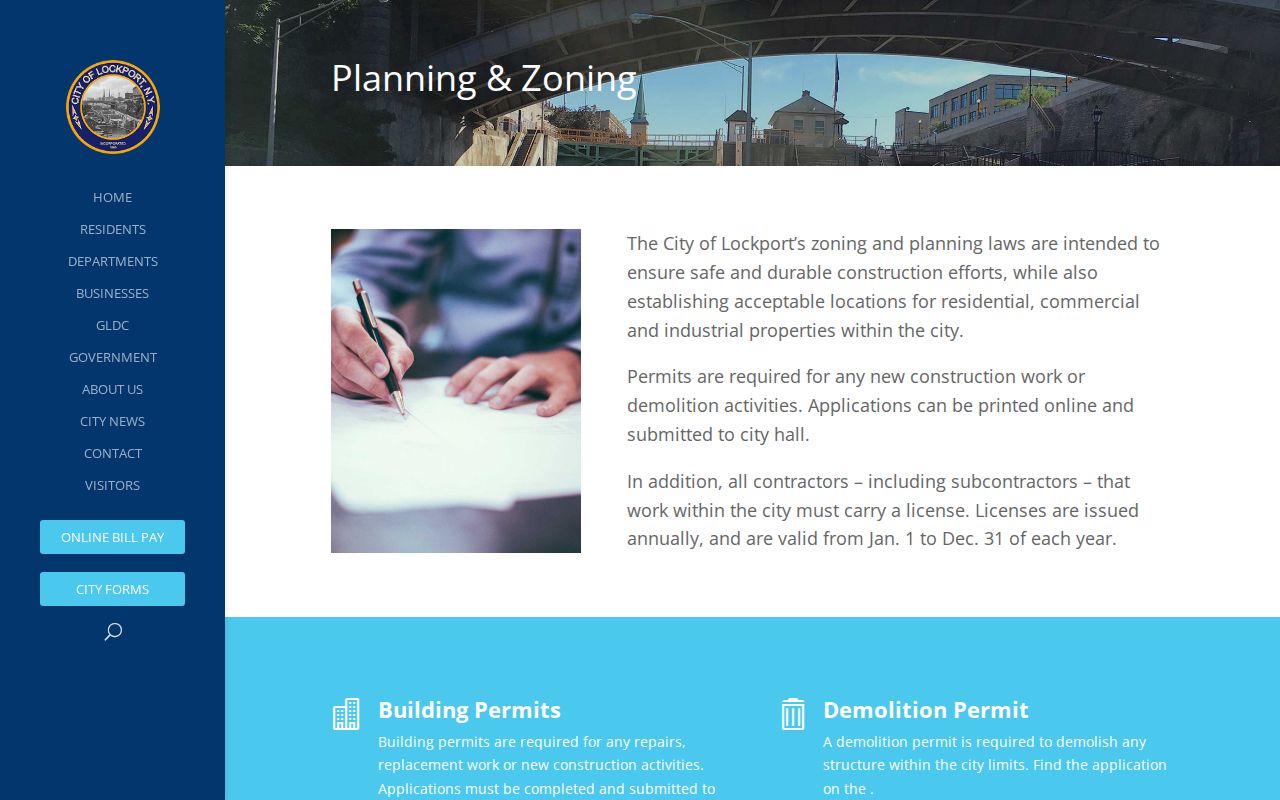
A permit or meeting record describes the public matter on a parcel. It should not be used to build a profile of people who may be nearby.
Lockport Neighbors in Historic Sources
For an older block, Lockport city directories at the Public Library run from 1856 to the present in print and microfilm. Read the name and address from the volume year, then pair it with a census year, newspaper notice, or parcel description. The 1903 Library of Congress Sanborn set has 28 Lockport sheets, and the Polster photograph collection concentrates on downtown, businesses, the canal, schools, churches, civic buildings, and industry in the 1940s through 1960s. These sources establish streetscape context and historical associations, not present occupancy.
The Town of Lockport Historical Society describes another community-history route and its schoolhouse material.
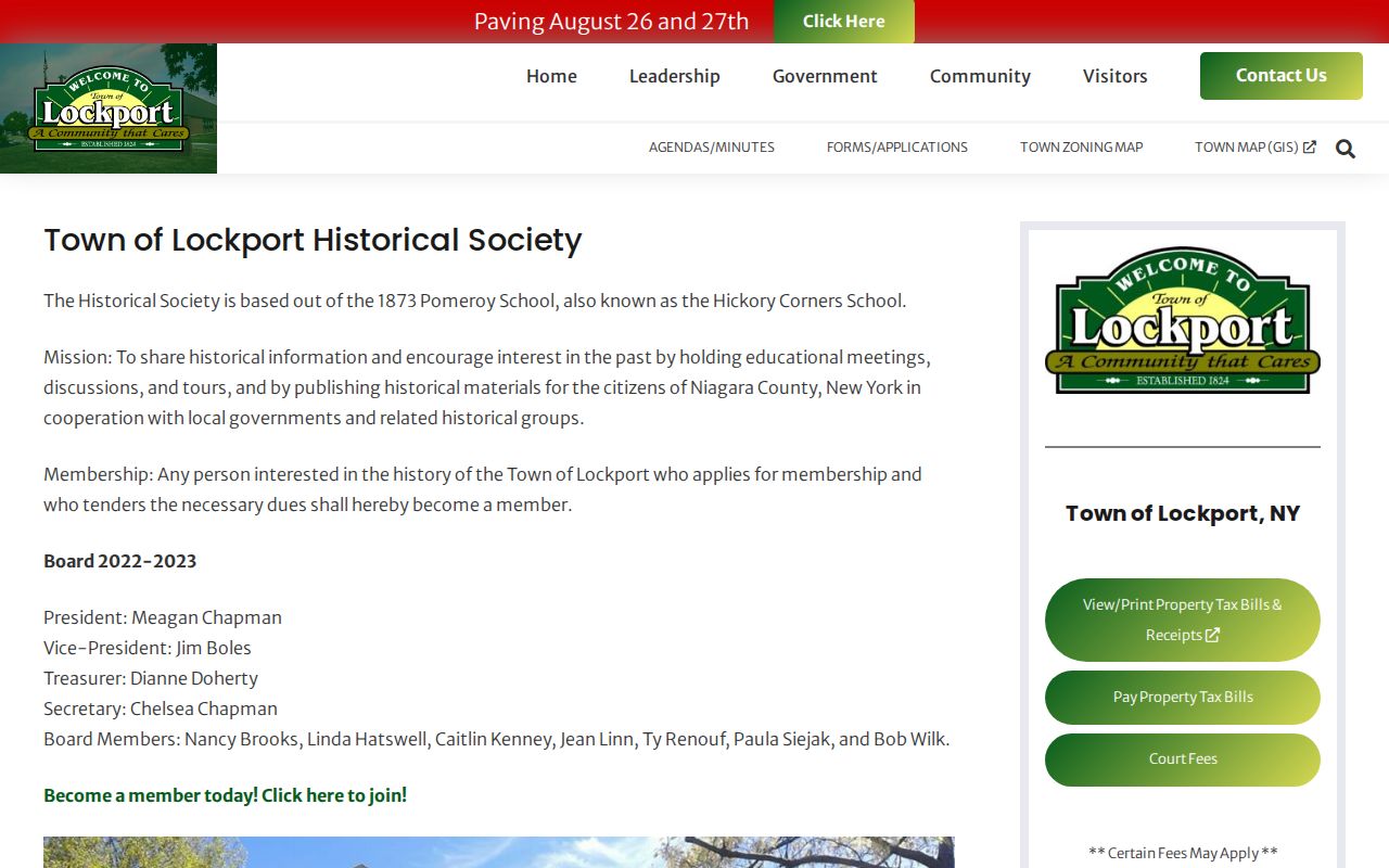
Town history can help distinguish the area’s municipal development before tying an old directory address to a modern parcel.
Official Lockport Neighbor Records
Official sources identify their custodian, scope, and date. A parcel map connects land; the assessment roll connects a named account to that land; a County Clerk document can establish a recorded transfer; a directory fixes an historical address association. Commercial neighbor-search results may bundle records from different dates without explaining the source path. They are not a substitute for checking the map, assessment roll, and original custodian.
| Official route | Useful strength | Limit to keep |
|---|---|---|
| Parcel map plus PROS-GAR | Named land relationship and assessment fields | Owner and mailing contact are not proof of occupancy |
| County Clerk deed route | Recorded transfer parties and document references | IQS images require subscription or office access |
| Library directories | Dated historical address association | Publication year is not a current finding |
When an online portal is gated, Niagara County Clerk requests can be made by phone, email, mail, or in person with party names, recording date, book/page, or instrument number.
Lockport Neighbor Privacy Limits
Public records have boundaries. New York’s Address Confidentiality Program gives qualifying participants a substitute mailing address and protects the actual location. The confidential-voter process is separate and may shield a voter’s address. Court matters can be sealed or contain protected personal information, and vital records have their own eligibility rules. A same-name result, a parcel mailing address, or a missing result should never be presented as an answer about a person’s location.
The Lockport boards and committees page is a legitimate public roster source, but it does not authorize collecting unnecessary details about anyone.
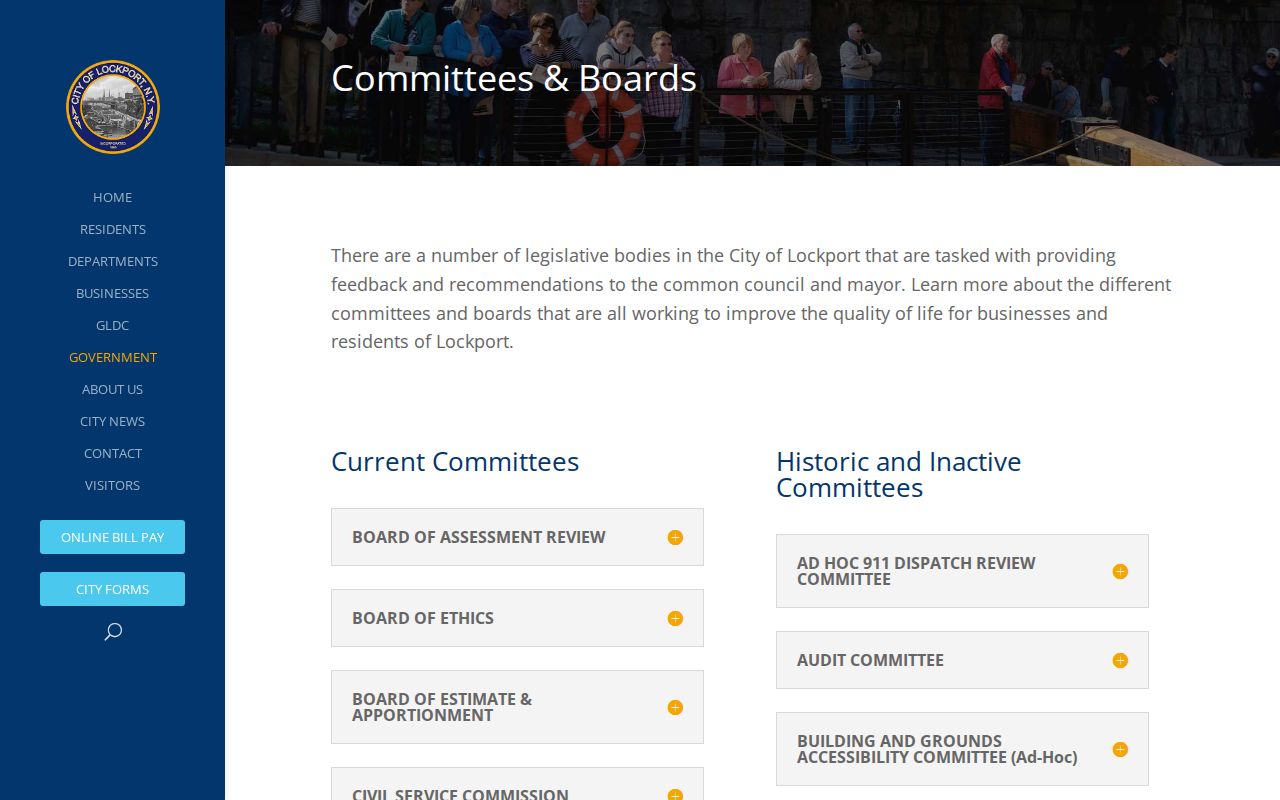
Use named civic roles only in their public context and confirm a record with its custodian before relying on it.
Lawful use. Use Lockport neighbor records for personal, lawful research and civic understanding. Do not use them to stalk, harass, intimidate, or harm any person.